Fieldwork
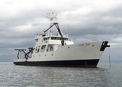
R/V Point Sur
|

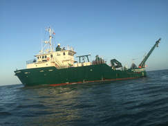
B/O Justo Sierra
|
R/V Weatherbird II
|
|
R/V Point Sur
|
B/O Justo Sierra
|
R/V Weatherbird II
|
